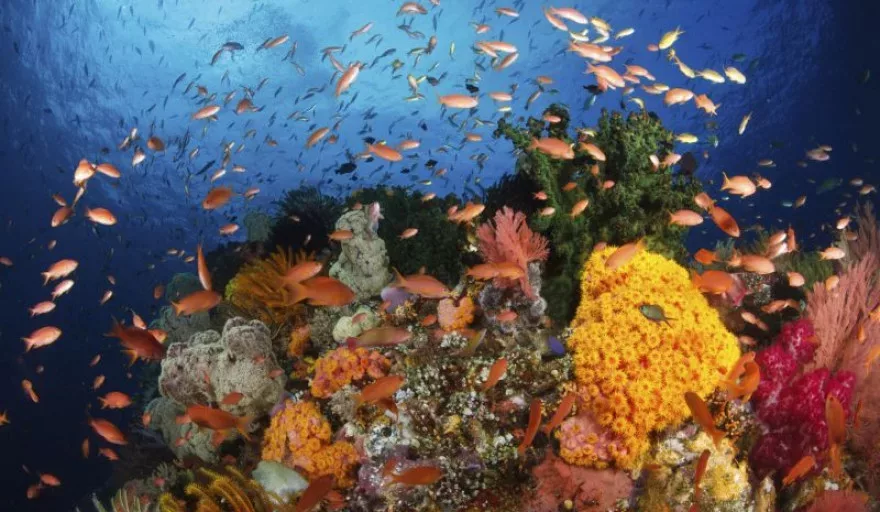
Many ideas for EU-funded projects are born in the quest to further scientific research, particularly in areas where little information exists. This applies to the project CoralFISH, which has uncovered information on how fish use their habitats in the deep sea, and as a result new tools and methodologies have been developed to address this lack of data.
The project partners also assessed the interaction between corals, fish and fisheries, and then used this information to develop monitoring and predictive modelling tools for ecosystem-based management in the deep waters of Europe and beyond. They also looked at coral systems that had been damaged by human activity such as deep sea trawling, and drew attention to the need to protect them from further damage.
The project was coordinated by Dr Anthony Grehan from the discipline of Earth and Ocean Sciences in the School of Natural Sciences at the National University of Ireland. It brought together a consortium of 16 partners comprising deep-sea fisheries biologists, ecosystem researchers, modellers, economists and a fishing industry SME, representing 11 countries from all over Europe.
Dr Grehan explains why conserving biodiversity is an important issue, ‘There is a pressing need to produce concrete proposals for the improved management of deep-sea fisheries and other resources while taking into account the need to conserve biodiversity. Implementation of such policies relies on information that is in short supply in the offshore and deep-sea.’
This project received funding of EUR 10.8 million, of which EUR 6.4 million came from the European Commission. This enabled, for the first time, extensive mapping of new coral areas in Iceland, France and the Azores, and the quantification of coral habitats in these and three other areas – off the west coast of Ireland, the Eastern Norwegian Sea and in the Ionian Sea (Italy). This information was then used to develop ‘state of the art’ models to predict where corals (and other vulnerable species such as sponges) could be found in the global ocean.
Predicting the whereabouts of corals will help policy makers understand how to best use marine space – for fishing, telecommunications cables and mineral exploration, while also protecting the environment. This is in line with a proposed new EC Directive establishing a framework for maritime spatial planning and integrated coastal management.
Dr. Grehan, who specialises in deep sea ecology and conservation, says, ‘The need to develop the tools and a strategy for the implementation of maritime spatial planning has become increasingly urgent. This is because of human activity in the deep sea, which is expanding, for example, in fishing, oil and gas exploration, as well as potential mineral mining. Therefore, competition for deep-sea resources has become more intense while the need to ensure adequate conservation of biodiversity and genetic variety is a priority for the future health of the planet.’
In support of the quantification of deep-sea habitat, the project is the first European effort to develop standardised video analysis for deep seafloor mapping, having developed a software program called COVER, which stands for ‘Customisable Video Image Observation Record’. Some of the best elements of this have been incorporated into software available from the ‘French Research Institute for the Exploitation of the Sea’ (Ifremer).
Although CoralFISH has now ended, elements of the project will carry on into the Horizon 2020 framework programme for research and innovation. Further results from the project will be published in a Special Edition of Deep-Sea Research Part II: Topical Studies in Oceanography due.
SOURCE: The European Commission Research and Innovation Information Centre